Collection:
Maps
30 products
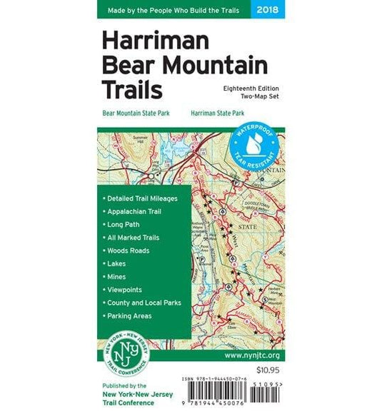
NYNJ Trail Conference Map - Harriman Bear MT Trails NY - NY
Regular price
$10.95
Sale price
$10.95
Regular price
Unit price
/per
Printed in vibrant color on waterproof and tear-resistant Tyvek, the revised NY/NJ Trail Conference Map-Harriman Bear Mountain Trails Map is a digitally-produced two-map set that is a must-have for...
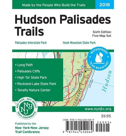
NYNJ Trail Conference Map - Hudson Palisades Trails - NY
Regular price
$9.95
Sale price
$9.95
Regular price
Unit price
/per
Printed in vibrant color on waterproof and tear-resistant Tyvek, the revised New York-New Jersey Trail Conference Hudson Palisades Map is a digitally-produced five-map set and is a must-have for ou...
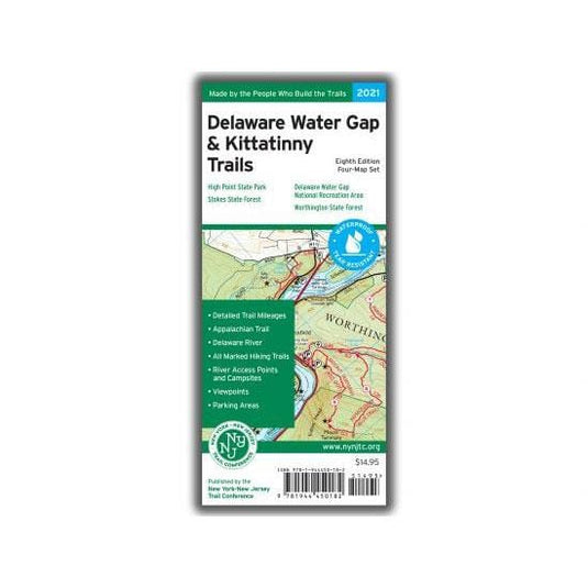
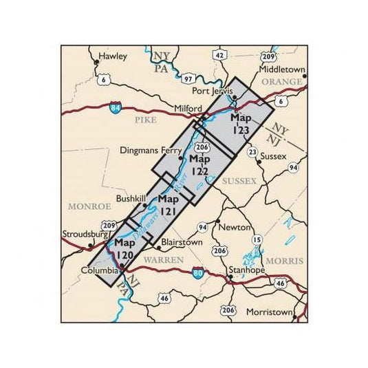
NYNJ Trail Conference Map - Delaware Water Gap & Kittatinny Trails Map
Regular price
$14.95
Sale price
$14.95
Regular price
Unit price
/per
Four-map set, map #s 120, 121, 122 & 123 (formerly titled just Kittatinny Trails)
Our Delaware Water Gap & Kittatinny Trails Map is a four-map set featuring trails along the Kittatinny Ridg...
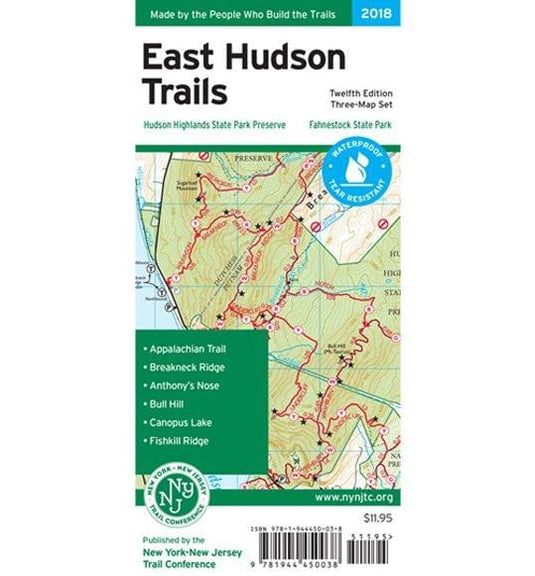
NYNJ Trail Conference Map - East Hudson Trails - NJ
Regular price
$11.95
Sale price
$11.95
Regular price
Unit price
/per
The East Hudson Trails Map by the New York-New Jersey Trail Conference is a three-map set featuring more than 150 miles of trails in the New York Highlands east of the Hudson River. The maps are pr...
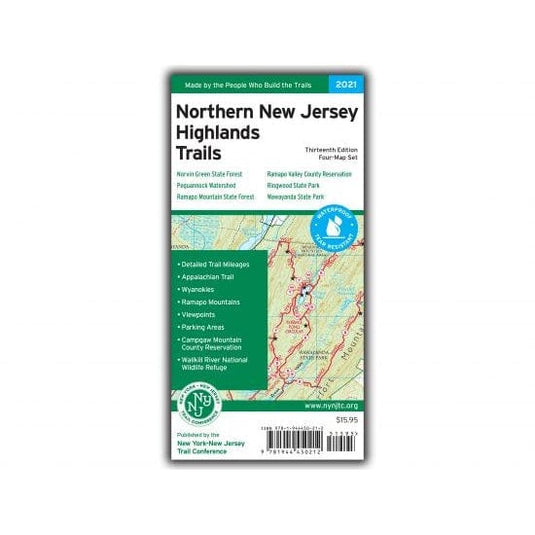
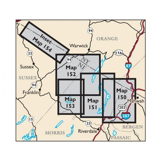
NYNJ Trail Conference Map - Northern New Jersey Highlands Trails Map
Regular price
$15.95
Sale price
$15.95
Regular price
Unit price
/per
Our totally revised Northern New Jersey Highlands Trails Map (formerly titled North Jersey Trails) is a four-map set featuring more than 360 miles of marked trails and more than 40 parks and preser...
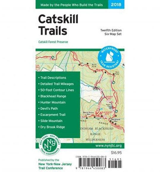
NYNJ Trail Conference Map - Catskill Trails - NY
Regular price
$17.95
Sale price
$17.95
Regular price
Unit price
/per
The 2018 edition New York New Jersey Trail Conference Map-Catskill Trails feature several trail updates and additions, including new trails near Kaaterskill Falls, Overlook Mountain, Platte Clove P...
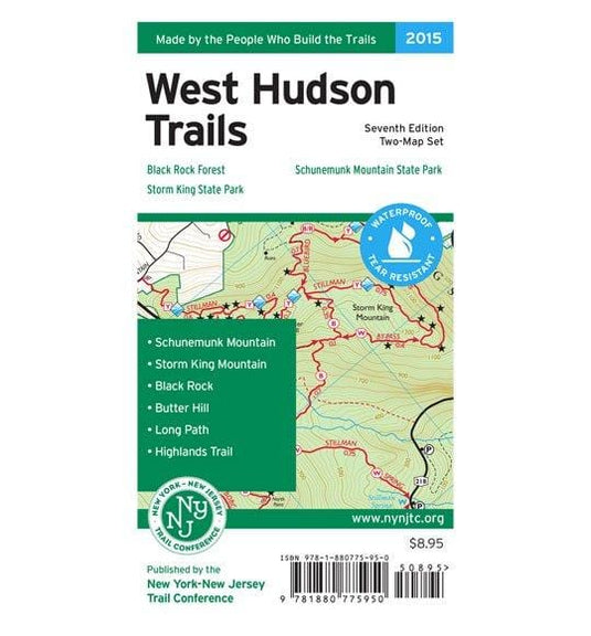
NYNJ Trail Conference Map - West Hudson Trails - NY
Regular price
$9.95
Sale price
$9.95
Regular price
Unit price
/per
The West Hudson Trails Two-Map Set printed by the New York-New Jersey Trail Conferenc is in vibrant color on waterproof and tear-resistant Tyvek material. This revised, digitally-produced set is a ...
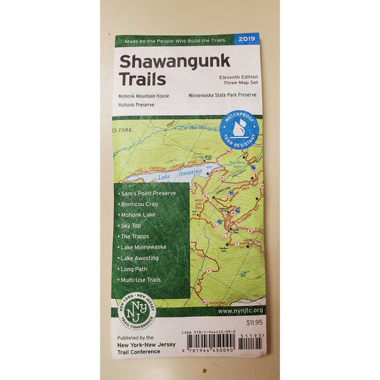
NYNJ Trail Conference Map - Shawangunk Trails - NY
Regular price
$11.95
Sale price
$11.95
Regular price
Unit price
/per
The revised, digitally-produced three-map set by the New York-New Jersey Trail Conference Shawangunk Trails Map is printed in vibrant color on waterproof and tear-resistant Tyvek, and is a must-hav...
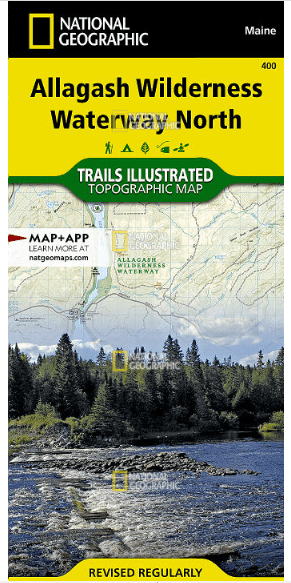
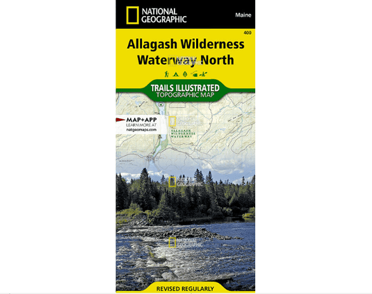
National Geographic Trails Illustrated Allagash Wilderness Waterway North
Regular price
$14.95
Sale price
$14.95
Regular price
Unit price
/per
• Waterproof • Tear-Resistant • Topographic Map
The Allagash Wilderness Waterway is a majestic 92-mile-long ribbon of rivers, lakes, ponds, and streams that winds its way through the heart of the N...
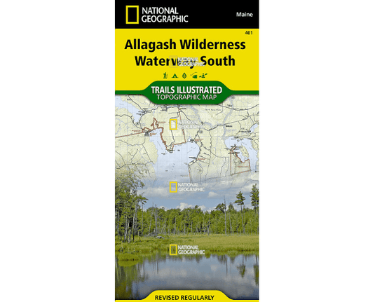
National Geographic Trails Illustrated Allagash Wilderness Waterway South
Regular price
$14.95
Sale price
$14.95
Regular price
Unit price
/per
• Waterproof • Tear-Resistant • Topographic Map
Expertly researched and created in partnership with local land management agencies, National Geographic's Trails Illustrated map of Allagash Wilderne...
National Geographic Trails Illustrated Appalachian Trail, Mount Carlo to Pleasant Pond [Maine]
Regular price
$14.95
Sale price
$14.95
Regular price
Unit price
/per
• Waterproof • Tear-Resistant • Topographic Map
The Mount Carlo to Pleasant Pond Topographic Map Guide makes a perfect traveling companion when traversing the southern Maine section of the Appalach...
National Geographic Trails Illustrated Appalachian Trail, Pleasant Pond to Katahdin [Maine]
Regular price
$14.95
Sale price
$14.95
Regular price
Unit price
/per
• Waterproof • Tear-Resistant • Topographic Map
The Pleasant Pond to Katahdin Topographic Map Guide makes a perfect traveling companion when traversing the northern Maine section of the Appalachian...
National Geographic Trails Illustrated Allegheny North [Allegheny National Forest]
Regular price
$14.95
Sale price
$14.95
Regular price
Unit price
/per
• Waterproof • Tear-Resistant • Topographic Map
National Geographic's Trails Illustrated map of Allegheny North delivers unmatched detail and valuable information to assist you in your exploration ...
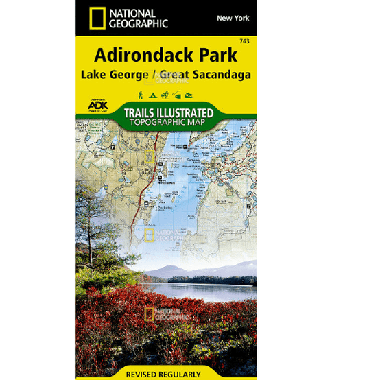
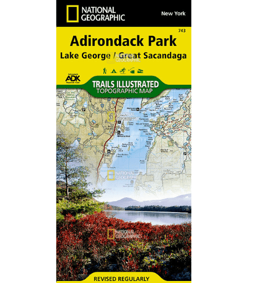
National Geographic Trails Illustrated Lake George, Great Sacandaga: Adirondack Park
Regular price
$14.95
Sale price
$14.95
Regular price
Unit price
/per
• Waterproof • Tear-Resistant • Topographic Map
National Geographic's Trails Illustrated map of Adirondack Park, Lake George / Great Sacandaga combines unmatched detail with helpful information to ...
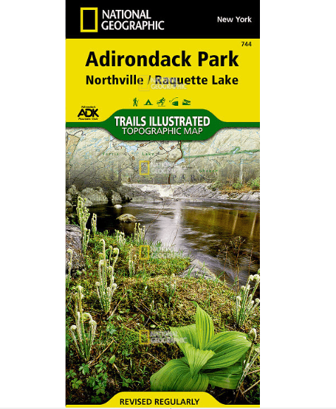
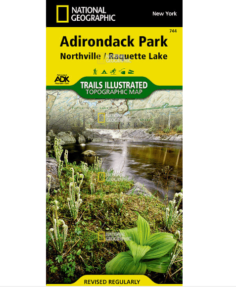
National Geographic Trails Illustrated Northville, Raquette Lake: Adirondack Park
Regular price
$14.95
Sale price
$14.95
Regular price
Unit price
/per
• Waterproof • Tear-Resistant • Topographic Map
National Geographic's Trails Illustrated map of Adirondack Park, Northville / Raquette Lake is designed to meet the needs of outdoor enthusiasts by c...
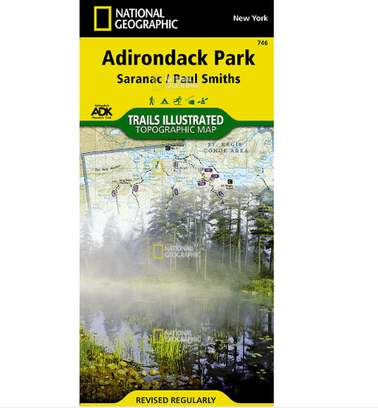
National Geographic Trails Illustrated Saranac, Paul Smiths: Adirondack Park
Regular price
$14.95
Sale price
$14.95
Regular price
Unit price
/per
• Waterproof • Tear-Resistant • Topographic Map
Explore the beauty and serenity of the Saranac Lakes region of the Adirondacks with National Geographic's Trails Illustrated map of Adirondack Park, ...
National Geographic Trails Illustrated Allegheny South [Allegheny National Forest]
Regular price
$14.95
Sale price
$14.95
Regular price
Unit price
/per
• Waterproof • Tear-Resistant • Topographic Map
Explore the forests, valleys, and winding rivers of northwestern Pennsylvania with National Geographic's Trails Illustrated map of Allegheny South. E...
National Geographic Trails Illustrated White Mountain National Forest West [Franconia Notch, Lincoln]
Regular price
$14.95
Sale price
$14.95
Regular price
Unit price
/per
• Waterproof • Tear-Resistant • Topographic Map
National Geographic's Trails Illustrated map of White Mountain National Forest West provides unparalleled detail for outdoor enthusiasts seeking to e...
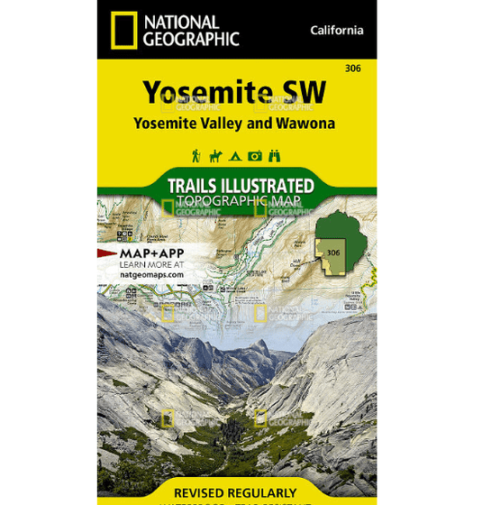
National Geographic Trails Illustrated Yosemite SW: Yosemite Valley and Wawona Map
Regular price
$11.95
Sale price
$11.95
Regular price
Unit price
/per
• Waterproof • Tear-Resistant • Topographic Map
The Yosemite Valley is a popular tourist destination, hosting millions of visitors each year. The glacial valley framed by such awe-inspiring granite...
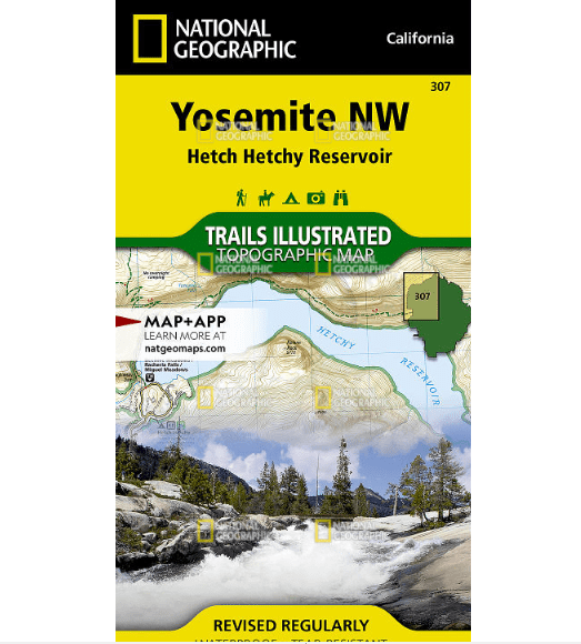
National Geographic Trails Illustrated Yosemite NW: Hetch Hetchy Reservoir Map
Regular price
$11.95
Sale price
$11.95
Regular price
Unit price
/per
• Waterproof • Tear-Resistant • Topographic Map
National Geographic's Trails Illustrated map of Yosemite NW: Hetch Hetchy Reservoir is designed to meet the needs of outdoor enthusiasts by combining...
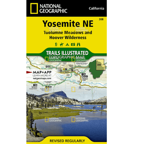
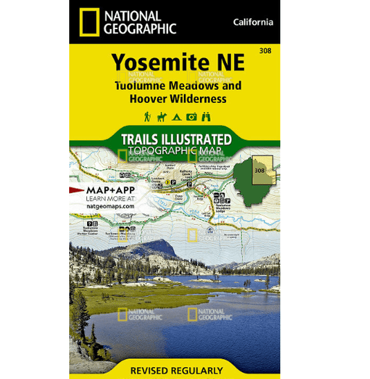
National Geographic Trails Illustrated Yosemite NE: Tuolumne Meadows and Hoover Wilderness Map
Regular price
$11.95
Sale price
$11.95
Regular price
Unit price
/per
• Waterproof • Tear-Resistant • Topographic Map
National Geographic's Trails Illustrated map of Yosemite NE: Tuolumne Meadows and Hoover Wilderness is designed to meet the needs of outdoor enthusia...
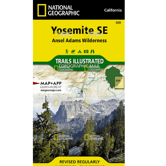
National Geographic Trails Illustrated Yosemite SE: Ansel Adams Wilderness Map
Regular price
$11.95
Sale price
$11.95
Regular price
Unit price
/per
• Waterproof • Tear-Resistant • Topographic Map
National Geographic's Trails Illustrated map of Yosemite SE delivers unmatched detail and valuable information to assist you in your exploration of t...
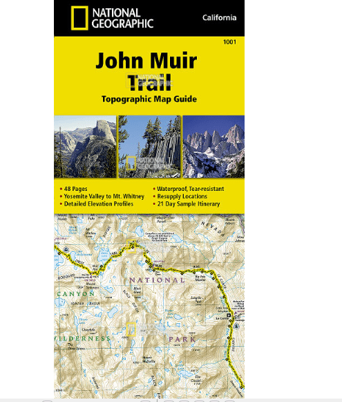
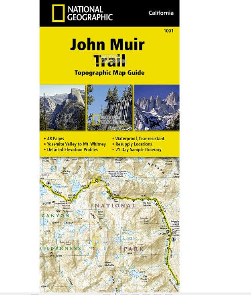
National Geographic Trails Illustrated John Muir Trail Map
Regular price
$14.95
Sale price
$14.95
Regular price
Unit price
/per
• Waterproof • Tear-Resistant • Topographic Map
National Geographic's Map Guide of the John Muir Trail is an indispensable tool for navigating one of the most famous trails in the United States. Ex...
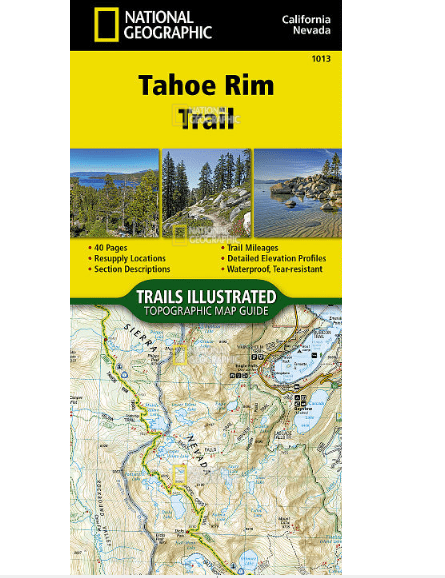
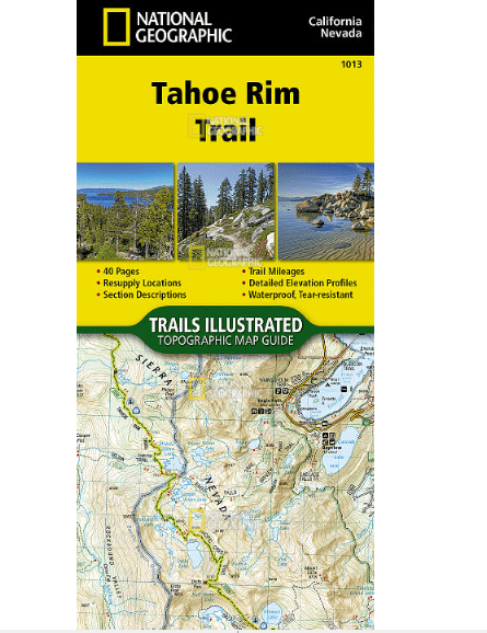
National Geographic Trails Illustrated Tahoe Rim Trail Map
Regular price
$14.95
Sale price
$14.95
Regular price
Unit price
/per
• Waterproof • Tear-Resistant • Topographic Map
Conceived in 1978 and completed in 2001, the 175-mile Tahoe Rim Trail (TRT) circumnavigates the beautiful Lake Tahoe Basin and traverses some of the ...
Use left/right arrows to navigate the slideshow or swipe left/right if using a mobile device

![National Geographic Trails Illustrated Appalachian Trail, Mount Carlo to Pleasant Pond [Maine]](http://www.campmor.com/cdn/shop/products/qbibbXw0SOuNj5Y8ZUhh_1_535x.png?v=1597252584)
![National Geographic Trails Illustrated Appalachian Trail, Pleasant Pond to Katahdin [Maine]](http://www.campmor.com/cdn/shop/products/B8aepwjhTCuZBTJ8XCPd_2_ec9b16fc-ac26-42c1-806b-946e3b4c4164_535x.png?v=1597254850)
![National Geographic Trails Illustrated Appalachian Trail, Pleasant Pond to Katahdin [Maine]](http://www.campmor.com/cdn/shop/products/B8aepwjhTCuZBTJ8XCPd_2_535x.png?v=1597254732)
![National Geographic Trails Illustrated Allegheny North [Allegheny National Forest]](http://www.campmor.com/cdn/shop/products/QdqRxJFqTWOpkRYBOVJS_4_ca3847eb-6b6f-4154-9534-b41c1081d3a5_535x.png?v=1597254851)
![National Geographic Trails Illustrated Allegheny North [Allegheny National Forest]](http://www.campmor.com/cdn/shop/products/QdqRxJFqTWOpkRYBOVJS_4_535x.png?v=1597254850)
![National Geographic Trails Illustrated Allegheny South [Allegheny National Forest]](http://www.campmor.com/cdn/shop/products/868t8V5QQlOZIkNTzNiQ_14_0f88b305-1029-415e-91a5-39b48d59b8d2_535x.png?v=1597255693)
![National Geographic Trails Illustrated Allegheny South [Allegheny National Forest]](http://www.campmor.com/cdn/shop/products/868t8V5QQlOZIkNTzNiQ_14_535x.png?v=1597255691)
![National Geographic Trails Illustrated White Mountain National Forest West [Franconia Notch, Lincoln]](http://www.campmor.com/cdn/shop/products/H0XZRuSwQ4WPLyZEDSBL_15_ba0ab5ad-fd7a-43d3-baf5-6f725a7981e5_535x.png?v=1597255809)
![National Geographic Trails Illustrated White Mountain National Forest West [Franconia Notch, Lincoln]](http://www.campmor.com/cdn/shop/products/H0XZRuSwQ4WPLyZEDSBL_15_535x.png?v=1597255808)
